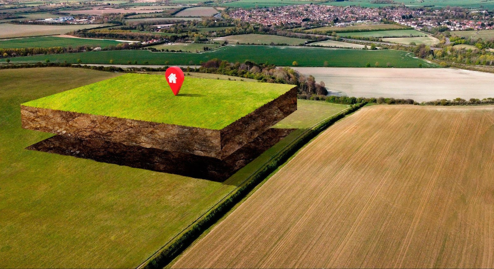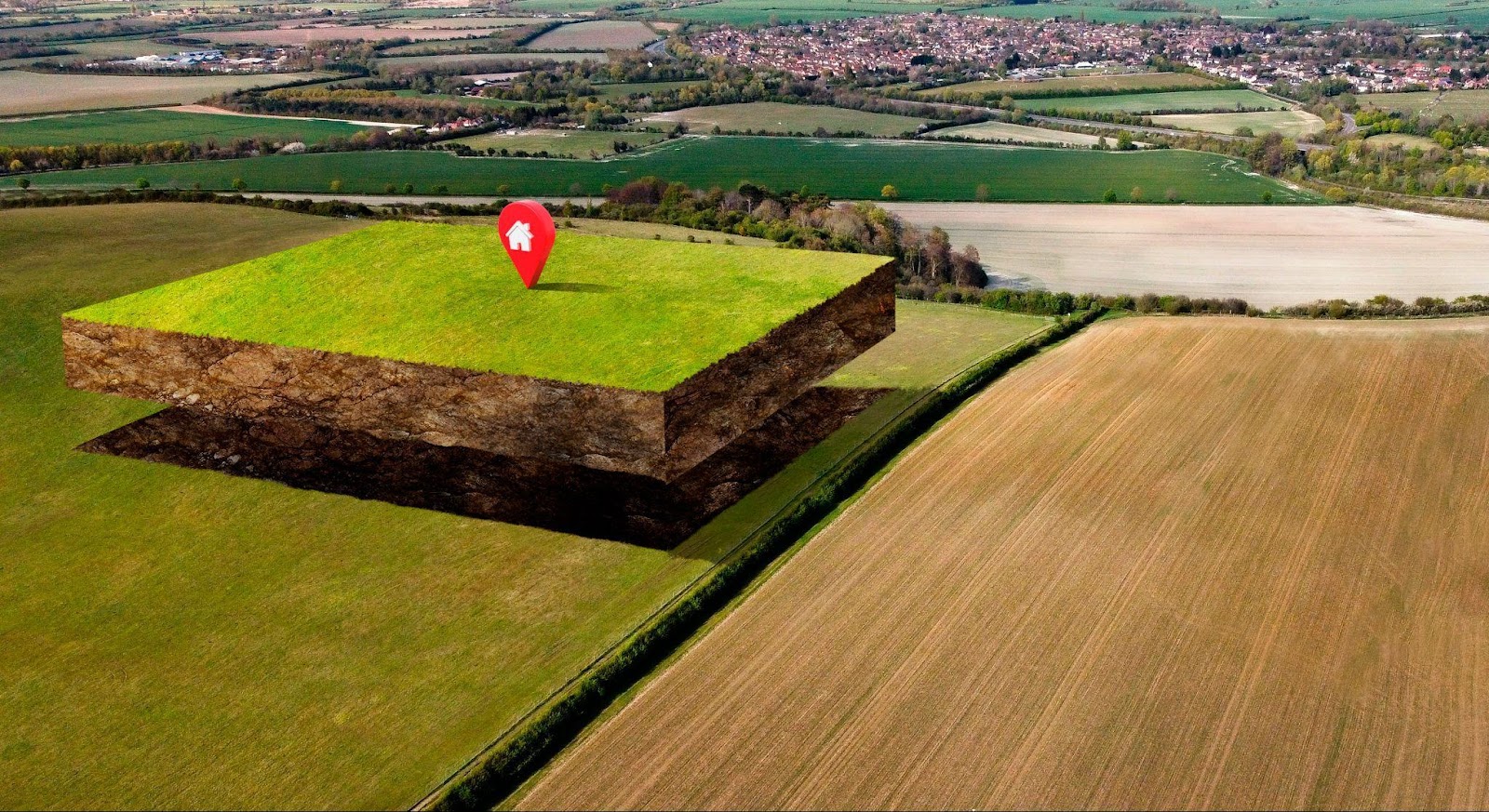
Lot dimensions pertain to the linear measurements that delineate the boundaries of a parcel of land, conventionally expressed in terms of width (frontage) and depth. These figures demarcate the physical footprint of a property and are critical for determining the following:
- The spatial capacity available for construction and development
- The permissible structure types
- Setback requirements relative to property lines
- Conformity with municipal zoning ordinances
A standard example of a lot description might be “50x100 feet,” signifying a frontage of 50 feet and a depth of 100 feet.
The Significance of Lot Dimensions

Lot dimensions are not mere numerical data; rather, they fundamentally shape the scope of architectural and land-use possibilities.
1. Architectural Design Flexibility
Parcels with expansive or unconventional configurations often facilitate innovative architectural concepts or ancillary structures such as swimming pools, landscaped gardens, or detached garages.
2. Zoning Ordinance Compliance
Municipal planning departments typically stipulate minimum and maximum lot sizes within zoning classifications. Failure to comply may result in permit denials or legal infractions.
3. Influence on Property Valuation
Lots featuring broader frontages often command higher market prices due to enhanced curb appeal and development potential, particularly within urban environments.
4. Privacy and Open Space
Deeper lots frequently afford expansive backyard areas, thereby enhancing privacy and functional outdoor living space.
Common Terminology and Dimensional Standards
Elucidated below are foundational terms and conventional measurements routinely employed within the context of lot dimensions. A thorough understanding of these definitions is indispensable for accurate interpretation of land specifications and informed decision-making in property acquisition and development.
Frontage
Frontage refers to the linear extent of the parcel that directly abuts a public street or right-of-way. It is typically regarded as the primary face of the property and is a key determinant of both visual prominence and vehicular accessibility. Properties with extensive frontage often benefit from enhanced visibility, superior curb appeal, and greater developmental latitude.
Depth
Depth denotes the longitudinal measurement extending from the front property line (adjacent to the street) to the rear boundary of the lot. It is integral to establishing the overall geometry of the parcel and, in conjunction with frontage, influences the buildable area and potential layout of structures.
Total Area
Total area, expressed in square feet or acres, represents the entire surface expanse of the lot. This metric encompasses all constituent components of the parcel, including buildable zones, easements, and unutilized sections. The area figure is pivotal in assessing zoning compliance, density allowances, and market valuation.
Corner Lot
A corner lot is situated at the intersection of two or more streets and is distinguished by possessing dual frontages. This configuration often enhances ingress and egress flexibility, increases light exposure, and may allow for varied architectural orientations. However, it may also be subject to more stringent setback requirements on multiple sides.
Flag Lot
A flag lot comprises two principal segments: a narrow access corridor (colloquially known as the “flagpole”) that provides ingress from the street, and the primary, developable portion (the “flag”) set back from the thoroughfare. While prized for its seclusion and potential privacy, flag lots may present challenges related to access easements, emergency vehicle accommodation, and limited street visibility.
Regional Variations in Lot Dimensions

Lot sizes and configurations vary significantly across urban, suburban, and rural contexts, shaped by regional development patterns and zoning codes.
Urban Environments
- Standard Dimensions: 25x100 ft or 50x100 ft
- Typical Applications: Townhouses, duplexes, compact single-family residences
Suburban Environments
- Standard Dimensions: 60x120 ft or 75x150 ft
- Typical Applications: Detached single-family homes with landscaped yards
Rural Environments
- Standard Dimensions: 100x200 ft or parcels exceeding one acre
- Typical Applications: Farmhouses, country estates, or speculative landholdings
Impact of Lot Dimensions on Building Design
The dimensional attributes of a lot directly affect the architectural potential and regulatory compliance of construction projects.
Setback Regulations
Most municipalities enforce regulations requiring buildings to be set back a designated distance from property lines. Narrow lots may constrain the feasible width of the structure.
Buildable Area
This refers to the portion of the lot available for construction after accounting for mandated setbacks and easements.
Lot Coverage Ratio
A zoning metric that limits the proportion of land covered by structures. For example, a 40% coverage allowance on a 10,000-square-foot lot permits construction up to 4,000 square feet.
Methods for Measuring Lot Dimensions

Attaining accurate and legally defensible measurements of lot dimensions necessitates meticulous methodologies and the utilization of authoritative resources. The following approaches are conventionally employed within professional and regulatory contexts:
- Examination of Plat Maps: Plat maps, prepared by civil engineers or land surveyors and filed with municipal authorities, offer a graphical representation of subdivided land, delineating property lines, dimensions, easements, and adjacent parcels. These maps are indispensable for visualizing spatial relationships and verifying legal lot configurations.
- Professional Surveying: The engagement of licensed land surveyors constitutes the most precise and legally binding method of determining lot dimensions. Employing theodolites, GPS technology, and total stations, surveyors produce certified boundary surveys, which are often requisite for real estate transactions, zoning applications, and title insurance issuance.
- Review of Deeds: Deeds and accompanying legal descriptions frequently employ either the metes and bounds system (relying on bearings, distances, and natural landmarks) or the lot-and-block method (based on recorded plat maps). Scrutiny of these documents ensures alignment between historical records and contemporary representations of parcel boundaries.
- Digital Tools: Technological advancements have rendered digital platforms such as Geographic Information Systems (GIS), LiDAR scans, and high-resolution satellite imagery increasingly accessible. These tools facilitate preliminary assessments and comparative analyses, although they do not supplant the necessity for formal surveying where precision and legality are paramount.
Criteria for Selecting Suitable Lot Dimensions
When undertaking the evaluation of parcels for prospective purchase or development, a multifaceted approach to lot dimension suitability is essential. The following criteria provide a structured framework for informed decision-making:
1. Intended Functionality
The proposed end use of the property should dictate the dimensional prerequisites. For instance, parcels designated for residential development may necessitate ample width for a two-car garage or sufficient depth for a spacious backyard. Similarly, commercial developments might require broader frontages for optimal visibility and customer access. Consequently, dimensions must be aligned with both immediate and projected utility.
2. Long-Term Expansion Plans
An astute purchaser will consider not only present needs but also future development aspirations. These may encompass the addition of structural enhancements such as patios, sunrooms, second-story extensions, or auxiliary dwelling units (ADUs). Selecting a lot with the dimensional flexibility to accommodate such modifications can circumvent costly rezoning applications or structural reconfigurations at a later date.
3. Neighborhood Compatibility
The lot dimensions should harmonize with the prevailing architectural vernacular, zoning classifications, and urban design standards of the surrounding locale. A parcel that is disproportionately large or irregular relative to its environs may encounter regulatory scrutiny or community resistance. Conformity enhances neighborhood cohesion and, in many cases, bolsters resale value.
4. Topographical Considerations
The physical terrain of a parcel significantly influences the feasibility and cost of construction. Flat, rectangular lots offer optimal ease of development and layout design, reducing grading and foundational expenses. In contrast, sloped or oddly shaped lots may necessitate specialized engineering solutions, elevated construction budgets, and increased permitting complexities. It is therefore prudent to weigh topographical characteristics alongside dimensional metrics during site selection.
Interpretation of Lot Dimensions in Property Listings
In real estate marketing and sales documentation, the inclusion of lot dimensions is standard practice; however, critical scrutiny is warranted to ensure accurate comprehension and application. Prospective buyers and developers must exercise due diligence in assessing the veracity and implications of these measurements.
- Are the listed dimensions precise and up-to-date? It is essential to verify whether the stated measurements are derived from recent, professionally conducted surveys or if they rely on outdated or approximate sources, which may no longer reflect current parcel boundaries.
- Do the figures represent the buildable area or the total parcel size? Clarification is necessary to distinguish whether the dimensions encompass the entire property, including easements and non-developable segments, or solely the net buildable footprint permitted under zoning constraints.
- Is the parcel irregularly shaped? Non-rectilinear configurations can obscure the practical utility of the stated dimensions. For example, triangular or L-shaped parcels may appear generous in size on paper while offering limited functional area for conventional development.
To mitigate risk, verification of lot dimensions through formal boundary surveys, municipal plat records, and legal title documentation is strongly advised prior to finalizing a transaction or initiating design work.
Verification via official surveys or title documentation is always recommended.
Common Pitfalls in Evaluating Lot Dimensions

A failure to properly evaluate lot dimensions can lead to significant planning errors and financial setbacks. The following common missteps should be carefully avoided during the acquisition or development planning process:
- Disregarding Setback Mandates: One of the most prevalent oversights involves a misunderstanding or neglect of municipal setback requirements. These legal mandates stipulate the minimum distance that any structure must maintain from the property boundaries. As a result, the ostensibly ample dimensions of a lot may be significantly diminished when the usable, buildable footprint is constrained by front, side, and rear setback provisions.
- Assuming Larger Equals Better: While expansive parcels may appear advantageous at first glance, they often contain terrain or features that are unsuitable for construction, such as wetlands, steep slopes, or protected natural habitats. Moreover, large lots may be subject to more restrictive zoning overlays or density limitations, rendering them less utilizable than smaller, optimally zoned counterparts.
- Neglecting Expert Advice: An overreliance on publicly available maps or seller-provided information without the input of qualified professionals—such as licensed land surveyors, urban planners, or architects—can result in costly misjudgments. These experts provide crucial insights into zoning implications, buildability assessments, legal encumbrances, and infrastructure feasibility that cannot be accurately discerned without technical expertise.
Diligent evaluation through a multidisciplinary lens is imperative for a sound understanding of lot potential and limitations.
Lot characteristics play a pivotal role in determining long-term property valuation. Features that are especially appealing to prospective buyers include:
- Corner positioning (offering multiple access points and increased natural light)
- Generous frontage (enhanced aesthetic and functional appeal)
- Rectilinear shape (optimal for standard construction methods)
The Correlation Between Lot Dimensions and Market Value
Lot characteristics play a pivotal role in determining long-term property valuation. Features that are especially appealing to prospective buyers include:
- Corner positioning (offering multiple access points and increased natural light)
- Generous frontage (enhanced aesthetic and functional appeal)
- Rectilinear shape (optimal for standard construction methods)
Laying the Groundwork: Why Lot Dimensions Matter
In the realm of real estate, while location is undeniably critical, lot dimensions are equally consequential. These measurements influence not only what may be built, but also how a property functions and appreciates over time. For those engaged in acquisition, construction, or investment, a robust understanding of lot dimensions is essential to realizing the full potential of a land asset.

Get a no-obligation offer in just a few minutes.


.webp)


.webp)
